jason-blackeye-XYrjl3j7smo-unsplash
Solutions | Drone Inspections

Drone Inspections

How do we stand out?

Explore data in one place – all our data are kept in the same place for your convenience. We provide you with an easy access to our materials: detailed maps, models, and videos stored in the cloud infrastructure.
Unified services – we provide complex range of interconnected services, including sound measurements, noise mapping and inspections.
Real-time results – take the data you need with you, wherever you go. We create maps, photos, panoramas, and videos that synchronize with and are easily accessible from mobile devices.
High data accuracy - we care for the quality of the data, that’s why we use the best tools to analyse it. Recreate reality with best-in-class processing resulting in survey-grade models.

Our services

  • Geotechnical modelling

    The drone uses precise information about grade, area, lines, and volume through 3D terrain models. It allows us to monitor important elements of infrastructure such as haul roads, ramps, and benches.

    Moreover, it uses more detailed geotechnical data to improve slope stability, which results in greater safety and savings from reduced slope failures.

    Due to all its advanced technical capabilities, the tool is able to assist in optimal road design, planning, construction, and improvement of everyday work of our teams.

  • Drone mapping

    Drone is an invaluable tool that allows us to gather data that would be extremely difficult to collect otherwise. Among other smart functions, it supports our specialists in performing the following tasks:

    • Increasing efficiency and accuracy of stockpile management.
    • Creating highly-accurate orthophotos and digital elevation models.
    • Providing with scheduled and on-demand aerial data collection.
    • Simplifying the surveying process with pre-defined missions.
  • Inspection & Monitoring

    The drone is able to identify damage and needed repairs of equipment such as pipes, lines, conveyor belt systems. It can also notice a need to fix roof reports.

    Using the drone provides stability of the construction. Drones can ensure that the ground and materials are holding up and that elevated pipelines are stable and not at risk of collapse.

    It also has a smart function of detecting cracking & leak. Thanks to thermal and visual IR sensors placed on the surface of the drone, it can be used to detect voids in pipe walls and, as a consequence, catch problems before they occur.

    Smart processing infrastructure provides safety of the user and is another priceless functionality of the drone. The device is able to examine comminution and processing facilities for corrosion, infrastructural integrity and potential overheating of equipment without shutting down operations or putting people in dangerous situations.

  • General project oversight

    We provide support in business information management for our clients. We can help you to ensure that work is progressing to plan, and quickly modify plans when needed. We will also take care of your budgeting or contractor management if necessary.

    Reporting is another important aspect of project control. Demonstrate compliance of gathered information through reliable, visual data.

    We provide assistance in the field of insurance, claims & verification of documents. We will help you to easily determine causes of damage, location of objects (e.g. pipes, cables) or what actions took place by using images from the various stages of the process.

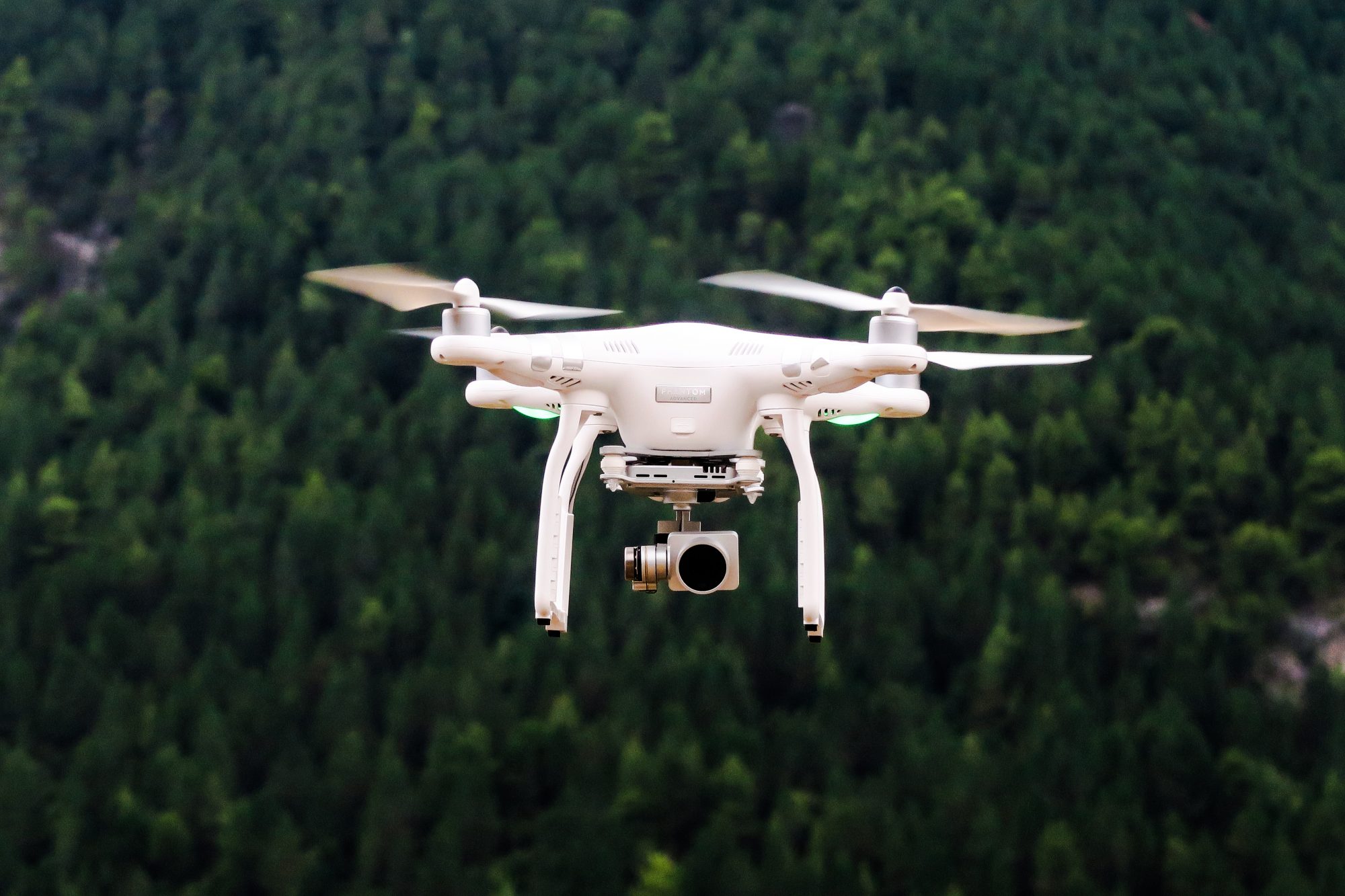
  • Security & Surveillance

    Using the drone ensures proper supervision over performed activities and guarantees safety due to number of security measures it can take:

    Bush fire detection – the drone locates bushfires aerially across a vast area, before they are able to spread and cause significant damage.

    Search & rescue operations – one of the drone’s features is monitoring perimeter security with predefined, scheduled patrols, deterring detected intruders, tracking a potential threat’s movements, and analysing data in real-time all while removing personnel from dangerous situations.

    Community relations – the drone helps to ensure safety by determining the location of missing or injured personnel on-demand, in a faster and more effective manner. It can alert local communities about incidents faster and it ensures areas are adequately cleared before and during potentially harmful fires, leaks or spills.

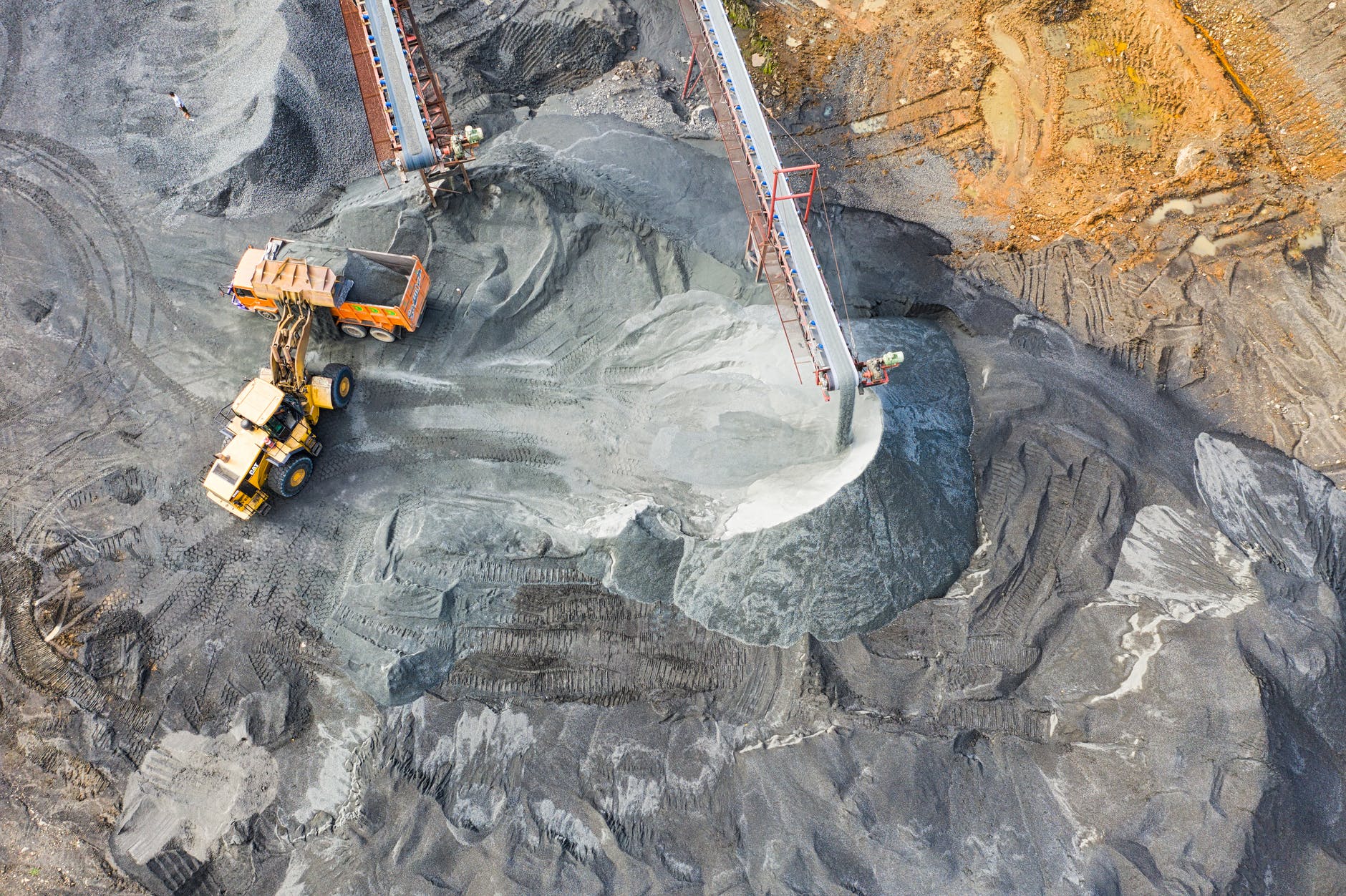
    Incident identification – thanks to its sensors, it detects incidents such as spontaneous combustion in stockpiles through the analysis of aerial thermal data.

    Reporting – the drone not only responds to incidents, but also allows its users to analyse them afterwards. It is able to verify details of incidents by collecting visual data, which can easily be used for reporting purposes.

"Drone technology is a great tool in replacing traditional methods with acquiring data while improving job site performance and safety. Explore how drone technology can harness your business."

Emil Kaźmierczak

Flight Specialist
drone-inspections-02

Applications

Drone inspections provides access to hard-to-reach areas with a high level of safety.
  • Oil & Gas and Offshore Constructions

    The offshore environment is often regarded as tough and demanding, where it is vital to keep faults as well as loss of production at both the installation and the inspection equipment to a minimum. One example of an assignment containing these elements is a flare inspection on an oil-gas platform, where the flare is still active. The data collection takes place in a turbulent and flame-filled environment, whilst the drone pilot, inspector and employees are at a safe distance from the inspection area and therefore out of the risk zone.

  • Wind Turbines and Landscape

    Drones are delivering good results with the increasingly taller wind turbines. In particular, leading edges, lightning receptors and nacelles are subjects for inspection. Here the drone collects high resolution pictures of possible defects, making it possible to plan repair work in detail as the data collected will help avoid unpleasant surprises during the maintenance period. Another area clearly suitable for drone inspection are bridges, irrespective of their being on land, connecting islands or spanning divisions in a landscape.

  • Industrial Facilities and Confined Spaces

    Confined spaces such as boilers at power plants, storage tanks for fuel are a relatively new addition to the drone inspection area, but are gradually becoming more commonplace. There are though considerable challenges when using drones in confined spaces, these include lack of proper light condition, colour nuances, reflection of radio signals and propeller turbulence. We meet these challenges by using powerful LED lamps, thus ensuring good picture quality with true, natural colours, as well as using specialised equipment and experienced pilots who can predict areas with high risk of turbulence.

  • Mining

    Many mining companies are investing immense resources in technological solutions that provide greater data collection and analysis. Drone data enables companies to monitor what is happening on-site and generate insights that can improve results, cut costs and advance capital flexibility for growth opportunities.

"Drone imagery can save you thousands of man-hours in being more accurate across construction sites. "
Grzegorz Krzos
CEO, Bioze1 Ltd., Poland
pexels-photo-2101137
Drone Solutions

Eye in the sky

Since ancient times, people dreamed about reaching the sky. Flying has always been associated with freedom and unlimited possibilities. Over the years, humans were looking for ways to overcome gravity and feel like birds. Even mythological Icarus paid the ultimate price for this dream of flying. We have been using the airspace relatively shortly as it became available to us only in XX century. Today we use it on a daily basis.

Developing modern technologies allowed us to look at the surface of earth from above, not necessarily from the board of a plane or other flying object. There is a solution that is safer, cheaper and easier to implement.

Drones have been accompanying men more and more often in the last few years. The last decade marked the largest commercial development of this technology. Drones are work tools for uniformed services and photographers but they are also used for fun and recreation.

Different technical units of a drone allows specialized industries to use it in their activities. Also our clients, together with us, appreciate its possibilities in the field of acoustics. Using the most modern surveying drone, we build models and generate data that allow us to create the most precise simulations possible.

The level of details that we get from aerial photos at low altitudes as well as precision of coordinates recorded by the drone’s system is unbeatable.

Possibilities offered by a drone are much greater. We give our business partners the opportunity to use all of them. The drone working at a client’s site can perform a number of additional measurement and inspection services. The scope of our offer, especially its complexity, saves time and money of our clients.

Custom solutions
and services

Please contact us to inquire information about our custom solutions and services.

Get in touch
Cookies

We use cookies (technical and profiling cookies from us and third parties) on KFB-acoustics.com to provide you with a better online experience and to deliver you with online commercial messages tailored on your preferences. If you select “continue” or access any content of our website without customizing your choices, you agree to the use of cookies. Find out more about our cookie policy and how to refuse cookies by clicking here.

Continue